Sunday, December 7, 2014

The Future of the Salar de Uyuni

The Salar de Uyuni has a very unique physical geography, characterized by extremes both in salt content, climate, and decay processes. Situated in the Andes Mountains, the Salar experiences cold temperates, wind, and even annual flooding due to its location in a closed draining basin. All of these processes and geographical phenomenons contribute to the Salar seen today.

It is estimated that plates move on average, approximately 2.5  cm per year. Calculations were made with this statistic in mind. The focus of these predictions lies in the eastward movement of the oceanic Nazca plate and the westward movement of the South American Plate.


Plate Movements near the Salar de Uyuni


10, 000 years from today... 

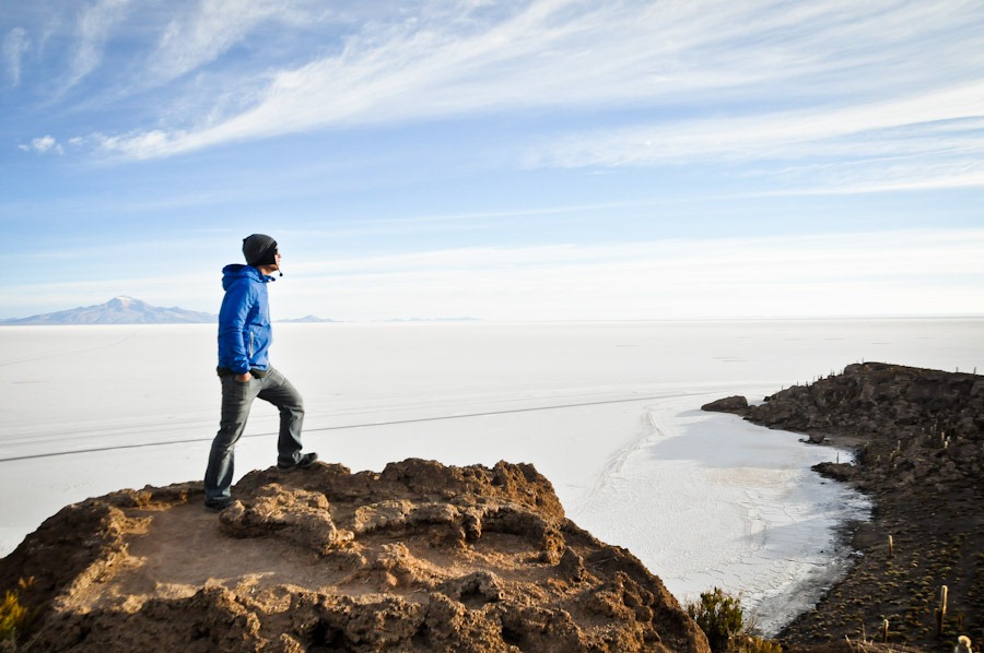
The Salar is a high altitude desert and because of its location in the Andes Mountains, eventually more convergence will occur as the ocean plate subducts under the continental plate In 10, 000 years the plate will move approximately 25,000 cm or 250 meters. This converts to about 0.16 miles. This is not a considerable distance and will not do much to alter the landscape of the Salar.

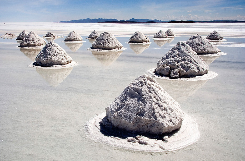
The geography will change due to other factors. For one, the salt in the Salar will be long gone by then. Approximately 25, 000 tons of salt are harvested annually and it is estimated that within 50 years from today the salt flats will be mined to the point of extinction.  With no salt, the closed draining basin will eventually return to a small lake, as it was about 11,000 years ago, although this time freshwater versus saltwater. As climate changes becomes more localized, the Salar will experience heavier rainfalls and more drastic droughts.


1, 000, 000 years form today...

In 1,000,000 years the plate will have moved 15.53 miles. For perspective, this is the distance from Denver to Golden, Colorado. As the Nazca oceanic plate continues to converge with the South American continental plate, the closed-draining basin of the Salar will become an open draining basin. Once this occurs, the lake will slowly recede and eventually become a marshier river area and vegetation will increase. It will look much like the other parts of the Altiplano:


100, 000, 000 years from today...

The Nazca plate will continue on its journey moving east, towards the South American continent. 100,000,000 years from today it will have approximately moved 1,553.43 miles. For perspective this is a little more than the approximate distance from Denver to Pittsburgh. This movement will create volcanos in the Salar, as the subducting oceanic crust melts and becomes magma.


As the continental crust continues moving westward, the Salar will move closer to the coast and this will change the climate of the Altiplano. As it stands today, the Salar is about 527 km from the coast, or 327 miles. Eventually the Salar will eventually return to its ocean roots (recall that ancient corals have been found on the rock islands today) and the Andean mountains will become an eroding cliff boundary between ocean and land.


Overview
The Salar will undergo a series of transformations in the next 100,000,000 years due to plate movement. The salt that characterizes the Salar will disappear very early in this timeline. The Salar will then become a freshwater lake. Another thousand years later it will go from a closed draining basin to an open draining basin. Volcanos will then appear as oceanic crusts further subducts under the continental crust. Finally, this once high altitude desert will become a coastal environment as it moves closer to the ocean.


Sources:

  • http://www.smithsonianmag.com/arts-culture/a-tasting-tour-of-salts-around-the-world-87988067/?no-ist
  •  http://articles.latimes.com/1991-07-07/news/mn-2947_1_salt-flats 
  • http://www.bbc.com/news/magazine-26993915
  • http://www.counterpunch.org/2012/10/22/bolivia-life-at-the-extreme-edge-of-climate-change/


Images:

  • http://static.squarespace.com/static/51bbeba5e4b0510af19f26f7/t/51e5be4ae4b094b5d72d9670/1374010955733/NazcaSAmerica.jpg
  • http://static.panoramio.com/photos/large/18941473.jpg
  • http://quake.eas.gatech.edu/Exercises/PlateTectAct_files/image004.jpg


Tuesday, November 11, 2014

Climate & Clouds of the Salar

The Salar de Uyuni can be classified as a cold desert climate, or BWk on the Köppen climate classification scale. The area experiences relatively cold temperatures and little rainfall.  BWk climates have irregular/unreliable rainfall, higher diurnal temperature ranges, and windy conditions.


The Salar experiences two different seasons: the rainy season and the dry season The dry season, characterized by its cold temperatures and wind, occurs from June to September and sees very low levels of precipitation if any at all, as shown in the graph below. Temperatures range between about  0 and 15 degrees Celsius and hit the higher of the range when the sun is at its zenith. In the afternoon, the Salar reaches maximum insolation. When the sun goes down the temperature decreases significantly. At night it can easily reach -15 degrees Celsius. 
Climograph for Uyuni, Bolivia
During the rainy season, temperature averages slightly increase.  The Salar has a higher saturation quantity at this time. It can be speculated that the humidity increases because the warm air can hold more water vapor. The rainy season occurs from approximately October to April.
This graph clearly depicts the rainy season and dry season in the Salar.

The higher level of relative rainfall during the rainy season causes the Salar to flood, because it is a closed draining basin, and this creates a mirrored image on the surface. This phenomenon gives the landscape a moderate albedo. During the dry season, the bright white surface of the salt, much like snow, gives the Salar a very high albedo.

Rainy season in the Salar.
Dry season in the Salar.
After a rain, when there is little wind and clear skies, radiation fog is common. This fog is created as the ground is chilled by long wave radiation. The surrounding air is cooled by convection till dewpoint is reached and then the fog is formed.  The Salar de Uyuni is also home to very diverse cloud formations. Below, one can view Altocumulus and Altostratus clouds.


Works Cited:
  • http://www.altiplanoextreme.com/climbing/uyuni.htm
  • http://whatstheweatherlike.org/bolivia/salar-de-uyuni.htm
  • http://www.eoearth.org/view/article/162271/


Images:
  • http://www.worldweatheronline.com/Uyuni-weather-averages/Potosi/BO.aspx
  • http://upload.wikimedia.org/wikipedia/commons/f/fe/Koppen_World_Map_BWk.png
  • http://planetden.com/wp-content/uploads/2014/03/dryness-Salar-de-Uyuni.jpg
  • http://twistedsifter.files.wordpress.com/2012/02/salar-de-uyuni-after-some-rain-bolivia-salt-flats.jpg
  • http://farm8.static.flickr.com/7033/6664479157_6b1049914d_z.jpg

Monday, October 13, 2014

Hydrology, Alveoli, And SALT DECAY!

The Salar de Uyuni is considered a closed draining basin. This means, unlike the hydrology examples we took a look at in class, the water that falls here, stays here. Water can only escape by evaporation and minor infiltration. This low drainage density (of practically zero) causes the salt flats to fill up with water when rainfall occurs. The salt on top dries and creates a hard concrete crust, sometimes many feet thick, yet underneath is undrained salt water, if one is able to break through the surface. 

This thin crust revels the salt water lurking underneath, since the water cannot drain in this closed basin!

This water will be here until it evaporates. 


When the surface of the Salar dries up it does so in hexagon shaped patterns. It may look a lot like clay desiccation cracking, but it is not the same.This phenomena is quite puzzling to me, but I know this unique pattern must be attributed to the high concentration of salt and the closed draining basin of the Salar. With further investigation, I believe this can be attributed to the crystallization of the salt and the heating and cooling that occurs as the salt flats transition from the rainy to hot season.


The salt flats of Bolivia experience salt weathering, which is a physical or mechanical decay process. In the nearby town of Colchani, residents use stones to hold down the roofs of houses because nails cannot stand the decay effects of the salt. 


On the Salar de Uyuni there are a series of 'islands', thought to be leftover remnants of ancient volcanos. The rock structures on the islands show great examples of salt decay, in the form of tiny holes, also known as alveoli and larger holes of tafoni. This YouTube video, gives a panoramic view of the island and showcases the alveoli and tafoni on the island:
Take a look! And see the effects of salt weathering on the island rocks. 


 The video also shows the stark contrast between the little vegetation growing on the island and the total lack of vegetation on the salt flats themselves. This is due to the infertility of the salt flats. The high salt content creates a very alkaline environment and this excess of salt, or salinization, makes plant growth nearly impossible. Salinization points to little precipitation and hotter temperatures, so it is very fitting that the only vegetation on the island is the hardy cacti and small desert shrubs.

Man standing on one of the islands, deep in thought about the surrounding tafoni.


Works Cited
  • http://dialogo-americas.com/en_GB/articles/saii/features/entertainment/2012/10/24/feature-02
  • http://www.reddit.com/r/askscience/comments/1zw794/why_do_desertsdried_up_lakes_form_polygon/
  • http://www.jon.hk/2012/02/bolivia-salt-flats-of-uyuni/
  • http://upload.wikimedia.org/wikipedia/commons/9/9b/Hexagons,_Salar_de_Uyuni,_Bolivia_(2086104060).jpg
  • Redwood, Stewart. Salt of the Earth. South American Explorer. 
Images
  • http://gqtrippin.com/wp-content/uploads/2013/03/DSC_0382.jpg
  • http://www.jon.hk/2012/02/bolivia-salt-flats-of-uyuni/
  • http://upload.wikimedia.org/wikipedia/commons/9/9b/Hexagons,_Salar_de_Uyuni,_Bolivia_(2086104060).jpg

.

Tuesday, September 16, 2014

Covergence, Prehistoric Lakes, and Salt, oh my!


Photo credit: https://blogger.googleusercontent.com/img/b/R29vZ2xl/AVvXsEi3HorcXoGI8XZfjaDSqYsHGfBPpf8uBxiLC3oozMnyzj4bV4zUW0gEVFBgu7Iw87J7t8YIQfJZl251ozC3lzul3f9xhAVPhJDUh-NbX50aH0xfbKbscXKZHyfRz2ZFTlIJuC70j3JL77MQ/s1600/Uyuni_Panorama_resize.jpg
The Salar de Uyuni is located in the Andean Altiplano, a high plateau formed by the uplift of the Andean Mountains. The Andean mountains were formed from the convergence of the Nazca oceanic plate with the South American continental plate. Scientists hypothesis that overtime, “parts of the dense lower crust and upper mantle might have periodically detached, which would have allowed the lighter upper crust to rise rapidly”, creating one of the world’s highest plateau in the world (http://earthsky.org/earth/rapid-growth-spurts-formed-vast-and-beautiful-altiplano-plateau). Salar de Uyuni sits in this plateau, at approximately 4,000 miles above sea level and stretches for  3,100 square miles (http://www.eoearth.org/view/article/155833/).
Through radiocarbon dating, the Salar de Uyuni can be traced back to a series of prehistoric lakes. The youngest “palaeolake”, Coipasa, dates back between 11,500 and 13, 400 years ago. And the oldest, Minchin, to about 32,000 years before present. These prehistoric lakes eventually dried up over thousands of years and left behind the great expanse of salt seen today (http://www.nature.com/nature/journal/v409/n6821/full/409698a0.html). This process may have been helped by the uplift of the Altiplano plateau over time, allowing for less runoff as it was enclosed by the surrounding mountains and greater evaporation.

The salt flat is estimated to contain ten billion metric tons of salt. Salt, better known as halite, is a chemical sedimentary rock. But the salt flat is surprisingly made up of more minerals than simply salt, containing contains large amounts of, potassium chloride, lithium cholride and magnesium chloride (http://www.traveltilldie.com/salar-de-uyuni-the-salty-beauty/).

Photo credit: http://intactnature.com/salar-de-uyuni-bolivia


Who knows what other surprises this landscape holds.


Sources:
  • http://earthsky.org/earth/rapid-growth-spurts-formed-vast-and-beautiful-altiplano-plateau


Thursday, August 28, 2014

I am Sylvia Wilson, a senior here at UCD majoring in International Business and minoring in sustainability. I've chosen the salt flats in Bolivia, better known by their Spanish name Salar de Uyuni. The salt flats stretch for miles and miles and are practically devoid of life, except for hundred year old cacti and pink flamingos...can you blame me for being so curious? Take a peak at some of the photos below - this place is visually stunning and very unique, but I would love to dig deeper and find out the reasons behind this incredible phenomenon. I traveled here in the summer of 2012 and at that time never really thought to look at it from a geological perspective. I was just in awe. Hopefully learning about this location through the eyes of a geographer, while incorporating some of my own experiences and photos, will make for a richer understanding! 


Location of the Salar de Uyuni in Bolivia.